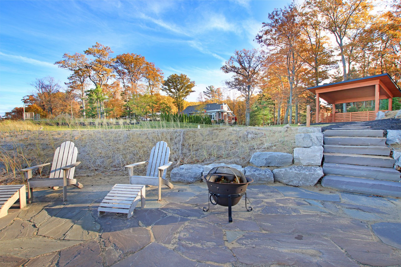
Walk north from the far end of the Oval Beach lot this month and the dunes look the same as they did in August: marram grass, sand blowouts, the Oxbow Lagoon catching low October light. Sometime between now and next summer, some of the footpaths branching off into that grass will be blocked with downed logs and brush, and a small keep-out sign will mark each one. Those closures are the first visible step of a restoration plan the city approved in September.
The Saugatuck Harbor Natural Area is 173 acres of duneland north of Oval Beach. It reaches from the Lake Michigan shore to the Kalamazoo River and wraps around the Oxbow Lagoon, which was the river's original channel. The Land Conservancy of West Michigan describes its trail system as about 2.5 miles. The new restoration plan targets roughly 20,000 feet of closed trail, close to 3.8 miles. By the Conservancy's count, foot traffic has carved more unofficial path into these dunes than the official system contains.
What Council Approved in September
The Holland Sentinel reported on September 24, 2026 that Saugatuck City Council approved $78,300 for trail remediation, habitat restoration, signage and wayfinding, and establishment maintenance at the preserve. The money will be reimbursed from the Saugatuck Harbor Natural Area endowment fund. The endowment exists to care for this land, so the project doesn't draw on the city's general budget.
The work comes from the Outdoor Discovery Center, also called ODC Network. Its conservation team walked the site in April 2026 and mapped every path with GPS. The team found "several redundant or informal trail segments that do not appear to receive consistent or sustained use," many of them running through the most sensitive plant communities. According to the city council packet, the Land Conservancy of West Michigan approved the plan and will help with the signs, and the city's Parks and Public Works Committee recommended it.
At the September 9 workshop, Public Works Director Ondersma called the target "rogue" trails. They have built up over time, and they damage dune vegetation and add to erosion. The plan keeps the existing primary loop and sends walkers onto it, which reduces how much the habitat gets cut into smaller pieces.
Why These Particular Dunes Can't Absorb the Extra Paths
Most dune paths along the lakeshore could stand a few shortcuts. This one gets more care because of what lives on it. The city says the site holds globally imperiled interdunal wetlands, Great Lakes shore and beach, Great Lakes marsh, and riparian shoreline, and that some of the species living there are rare in Michigan. Interdunal wetlands are the damp hollows between dune ridges. A path through one does more than flatten grass. It breaks up a community of plants that has very few places left to grow.
The same reasoning explains a rule that catches some walkers off guard. Dogs are not allowed anywhere in the Natural Area, in any season, and the city ties the ban directly to protecting those rare species. Leash rules don't come into it, because dogs aren't permitted in the first place.
The Calendar, From Brush Piles to Bee Balm
The closures will appear in stages. Here is the schedule in ODC Network's proposal:
| Phase | Window | What a walker will see |
|---|---|---|
| Signage design and fabrication | Summer 2026 to Spring 2027 | Kiosk, interpretive and boundary signs in development |
| Trail remediation | Fall 2026 to Summer 2027 | Logs, brush and small keep-out signs across closed paths |
| Habitat restoration | Spring 2027, weather and soil permitting | Native seed and plugs on the closed sections |
| Establishment maintenance | Through 2027 after installation | Spot reseeding and seasonal site visits |
This fall and winter, the closed paths will look raw: brush piles and bare sand, with nothing growing on them yet. Planting waits for spring because it depends on the soil. The proposal recommends a hybrid approach of about 3,500 native plugs in the busiest or most visible spots, with seed over the rest. Its suggested species are marram grass, puccoon, prairie sand reed, sand coreopsis and spotted bee balm. Plugs go in the high-traffic spots because they fill in quickly, and the proposal says that early cover helps reinforce a closure.
The council approved establishment maintenance as part of the package, according to the Holland Sentinel. The proposal lists that follow-up as an optional add-on and says it reduces the chance that informal trails come back. That makes the first full growing season, summer 2027, the real test.
Signs, but as Few as Possible
A new trail system usually means new signs, and the council talked about that tension openly. Council members, Parks and Public Works Chair Kimble, and the Land Conservancy of West Michigan wanted to protect the sensitive dunes while keeping the area natural and unobtrusive. They favored as few low-profile signs as possible.
The proposal's signage package includes:
- One welcome kiosk with the rules and a trail map
- Five interpretive signs, one each for Open Dunes, Great Lakes Marsh, Interdunal Wetland, Mesic Northern Forest, and Native Plant Benefits
- About 50 boundary signs reading Keep Off Dune, Private Property, or Keep Off Pier
Most of the signs are boundary markers, and that points to a long-standing issue. At the workshop, the minutes noted that the plan has to respect nearby private property lines, which "have been a recurring concern." Some informal paths drift toward land that isn't public. The trail map will be the first clear statement at the trailhead of where the preserve ends.
The minutes also point to what could come next. There is potential to connect and sign nearby access routes such as the Crow's Nest and Fishtown trails in future wayfinding. That idea is still only discussion, but it shows that a smaller trail network inside the preserve could still link to more of the area around it.
The Walk That Stays
The walk that remains is the one the preserve was set up to offer. The Land Conservancy describes trails along the Oxbow Lagoon, the river channel and the Lake Michigan shoreline, starting from the north end of the Oval Beach lot. Oval Beach Park is listed as open year-round from 8 a.m. to 10 p.m. The lot charges for parking from Memorial Day weekend through Labor Day weekend: $15 a day, $20 for city taxpayers, or $75 for a season pass in 2026. The Conservancy says there's no charge to enter on foot or by bike. The lot's paid season ended weeks ago, so this fall and winter you'll mostly see the work crews and very few other people.
The main loop also passes most of the site's history. The Natural Area sits on the original mouth of the Kalamazoo River, which was bypassed when the present channel was built in 1906. Old pilings from that first river opening still reach out into Lake Michigan. A fishing settlement called Fishtown stood on the north side of what is now the Oxbow Lagoon. It was abandoned when the old mouth drifted closed soon after the new channel opened. A lighthouse once stood where the old channel met the lake. A tornado destroyed it, and the structure that replaced it is now a private home on private land.
The land's protection dates back more than a decade. The Land Conservancy of West Michigan bought the acreage, which came from the southern part of the former Denison property, and Michigan Public reported that the land passed to the City of Saugatuck in December 2011. Nearly 15 years of city ownership and public use created the paths now being closed, and the endowment set up for the property is paying to close them.
A Warmer Shoulder Season Downtown
A smaller, related project is underway closer to Water Street. The Convention and Visitors Bureau is funding a warming station at the Mize Memorial Rose Garden. Users will turn it on with a push-button timer, and it is meant mainly for spring and fall rather than summer. The Parks and Public Works Committee and the Historic District Commission have approved the design, which uses vertical stainless-steel elements around a mesh enclosure. Operating hours and safety controls were still being worked out with the fire chief as of September. Like the dune restoration, it reflects city planning for the months when the preserve and the town are quietest.
The plant list for the Natural Area offers a ready model for Saugatuck's dune and wooded lots: marram grass, puccoon, prairie sand reed and sand coreopsis are the species ODC Network chose to hold restored sand in place. If you're planning a lakeshore home or landscape around native planting and long-term care for the land, Cottage Home Realty can help you design for the dunes as they are. Begin your lakeshore home journey.