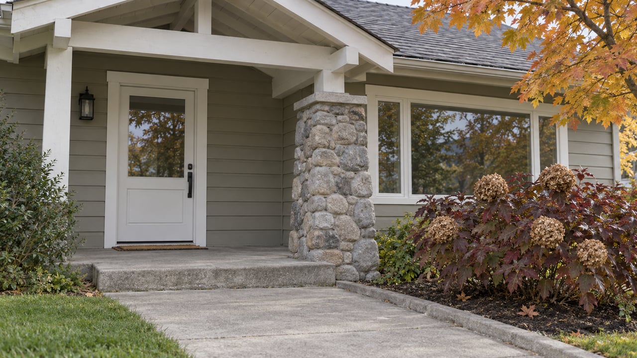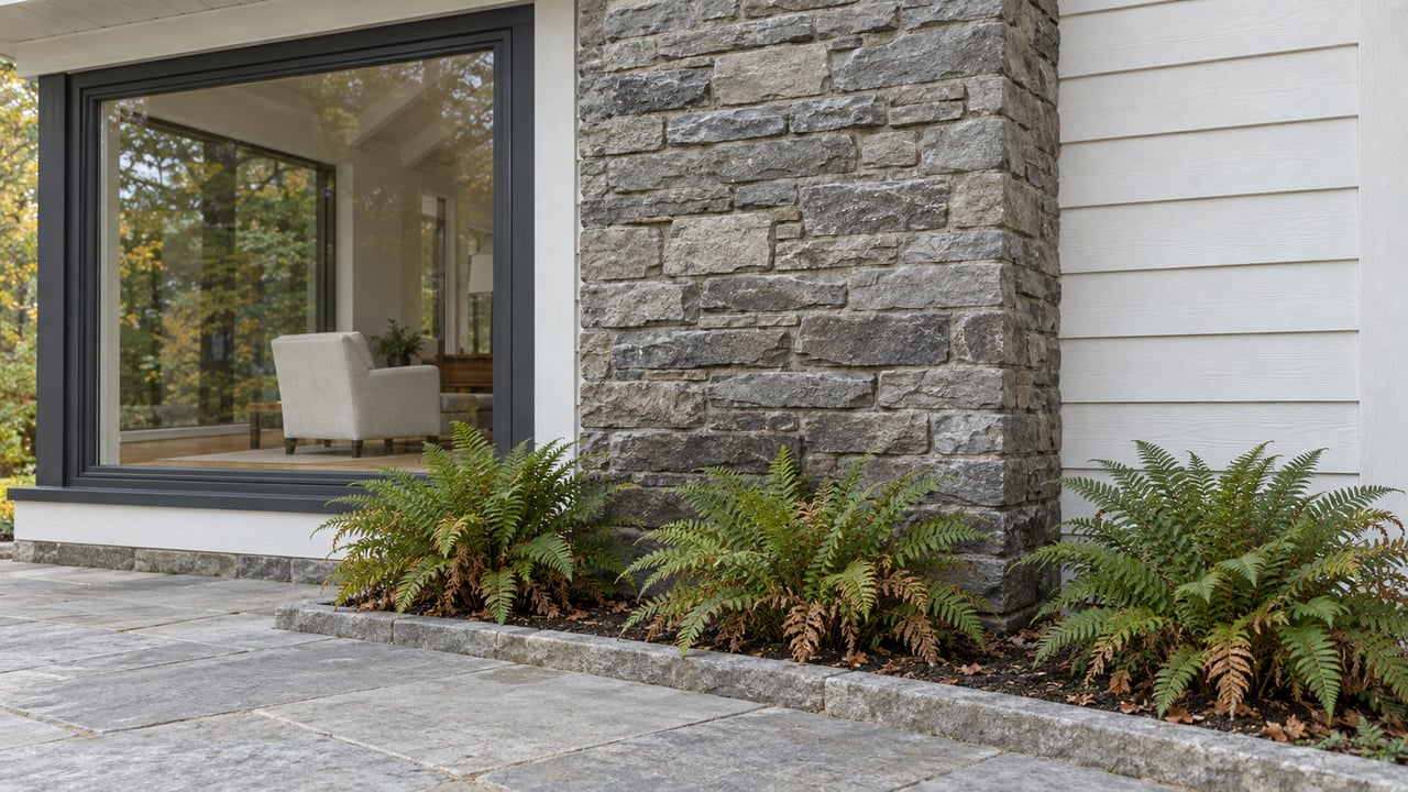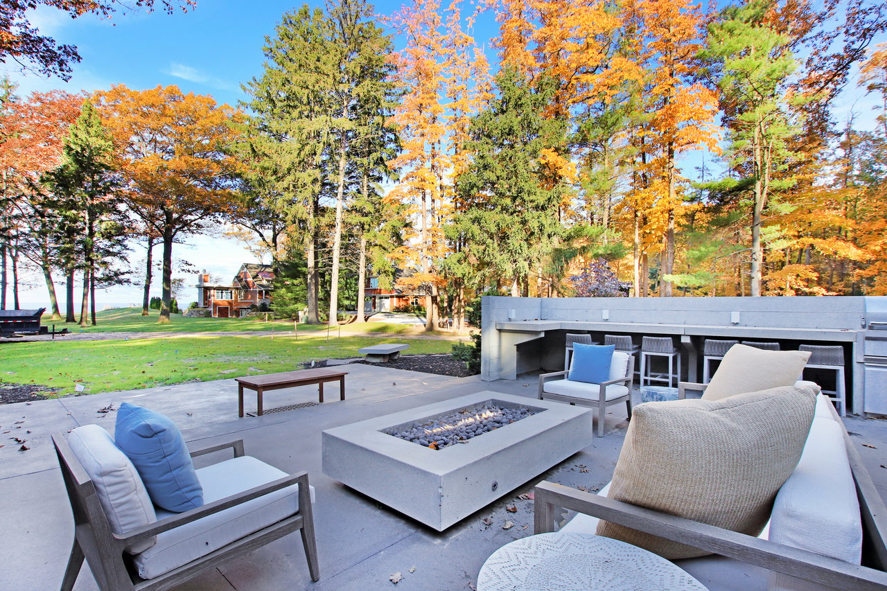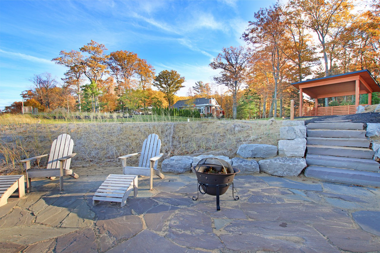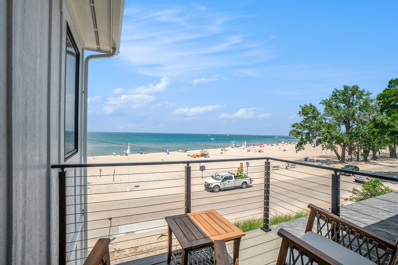
Picture two listings, both labeled "waterfront," both in St. Joseph, both priced within a few dollars a square foot of each other. One sits above the bluff along Old Lakeshore Drive with a clear shot of Lake Michigan sunsets. The other sits at Harbor Village, where the St. Joseph River meets the lake, with a boat slip a few steps from the back door. On a portal search, both show up under the same filter. In practice, the bluff-front property may involve state permits and a possible six-figure repair bill; the harbor property generally has a different permitting and erosion profile.
That difference never shows up in a median price. It shows up the first time an owner calls a contractor about a new deck and learns the state of Michigan gets a vote before the contractor does.
Two Regulatory Words Doing Most of the Work
"Waterfront" in St. Joseph can mean at least three different legal situations, and only one of them is obvious from the street. A bluff-top parcel along Lake Michigan can fall inside a High Risk Erosion Area, a Critical Dune Area, both, or neither, depending on how the state has measured that specific stretch of shoreline. A harbor or river-frontage property, even one a few hundred yards away, typically sits outside both designations entirely.
The High Risk Erosion Area designation is not a guess. Michigan's Department of Environment, Great Lakes, and Energy designates a shoreline as an HREA when the landward edge of the bluff has receded at a long-term average rate of one foot or more per year, measured over at least fifteen years. Roughly 250 miles of Great Lakes shoreline in Michigan currently carry that label. Critical Dune Areas are a separate designation entirely, built around protecting dune ecology rather than measuring erosion speed, and they cover about 74,000 acres across 265 miles of coastline. A property can be in one, both, or neither, and the only way to know for certain is to check the parcel against EGLE's own High Risk Erosion Area maps and Critical Dune Area maps.
Waterfront type | Governing designation | What a new owner should expect |
|---|---|---|
Bluff-top Lake Michigan frontage (Old Lakeshore Drive and similar) | Possible High Risk Erosion Area and/or Critical Dune Area | Permit requirements depend on designation: according to EGLE's Critical Dune Area permit fee schedule, Critical Dune Area permits cover decks, driveway expansions, removal of ten or more trees; according to Peterson Environmental, HREA permits apply to roofed structures and septic systems, with new construction requiring a movable foundation, as The Lake Life reports. Realistic seawall or revetment costs of $200,000 to $300,000 if the bluff is actively receding. |
Harbor or marina frontage (Harbor Village, Lighthouse Point) | Typically outside HREA and CDA mapping | Standard municipal permitting. Carrying costs run through a marina or condo association rather than a state erosion permit. |
St. Joseph River frontage away from the river mouth | Usually outside HREA and CDA mapping, verify by parcel | Standard building permits. Risk shaped by riverbank stability rather than Great Lakes erosion rules. |
What a Permit Actually Restricts
Inside a Critical Dune Area, a permit is required for nearly everything: a new deck, an expanded driveway, the removal of ten or more trees The state's own fee schedule is only part of the picture: each of those actions needs its own approval and its own timeline, with EGLE holding up to sixty days to process a standard application and ninety days for anything requiring a public hearing.
Inside a High Risk Erosion Area, the restriction is structural rather than procedural. A permit is required for any roofed structure or septic system, and new construction has to sit on a foundation engineered to be relocated if the bluff keeps retreating. EGLE sets two different setback lines for exactly this reason, a thirty-year projection for structures built to be moved and a sixty-year projection for those that are not, which means a bluff lot's buildable footprint depends partly on how the foundation itself is designed, not just on lot depth. The state's own guidance to bluff owners is blunt about the tradeoff: build your home as far landward from the top of the bluff as possible.
None of this applies to a Harbor Village condo or a Marina Island boat slip. Those carry the ordinary permitting of any harbor property. The word "waterfront" does not distinguish between the two.
The Bluff Has Been Doing This For Decades
St. Joseph's bluff has been unstable for longer than any current listing suggests. Homeowners along Old Lakeshore Drive have spent years watching the slope below their properties give way, in some stretches next to active CSX railroad tracks that run along the base of the bluff, which means a fix sometimes involves the railroad as much as it involves the homeowner or the state. One longtime resident of that stretch spent decades marking trees and branches on the slope across from her house, tracking losses year over year as a way of knowing when the erosion had accelerated again.
The bluff even has its own piece of local folklore. In the 1960s, when high water was carving away the shoreline, a St. Joseph resident named Carl Kuyat began rolling junk cars over the edge of the bluff as an improvised breakwall. Those cars are still down there today, rusted into the shoreline, a stretch locals call the Car Graveyard. It is not a cautionary tale about any single property. It is a reminder that this bluff has been a maintenance problem for at least sixty years, long before EGLE had a name for it.
A Regulatory Thread Still Worth Watching
The state's posture toward shoreline hardening has been shifting, not loosening. In 2024, Michigan Advance reported that State Rep. Joey Andrews of St. Joseph joined Rep. Rachel Hood of Grand Rapids in introducing draft legislation aimed at modernizing Michigan's dune protection rules, including provisions that would make it harder to permit a seawall or rock revetment without first showing that softer alternatives, like sandbagging or vegetation, were not feasible. As of that reporting, the bills remained in draft form. The direction, though, is clear enough for anyone weighing a long hold on a bluff lot: getting permission to armor a shoreline in Michigan is trending toward harder, not easier, which raises the cost of waiting once erosion has already started.
What This Means If You're Comparing Listings
A median price for "waterfront St. Joseph" combines bluff lots with harbor condos, even though their permitting and erosion considerations differ. Comparing the two on price per square foot alone is comparing different products wearing the same label. Before writing an offer on anything described as waterfront in St. Joseph, it is worth doing three things:
- Check the specific parcel against EGLE's High Risk Erosion Area and Critical Dune Area maps rather than assuming based on the neighborhood.
- Ask the seller or listing agent whether any EGLE permits have already been filed for the property, and for what.
- Budget separately for a bluff lot's carrying cost, since a seawall and revetment installation in this corridor typically runs $2,000 to $3,000 per linear foot, meaning a 100-foot bluff lot could face $200,000 to $300,000 in remediation before drainage engineering or permit fees are even added.
None of this makes a bluff home a bad purchase. It makes it a different purchase than a harbor condo at the same price point, and worth pricing accordingly.
What Buyers Usually Ask Next
Does every bluff-top property in St. Joseph fall inside a High Risk Erosion Area? No. EGLE designates HREAs parcel by parcel based on county-wide recession-rate studies, not by neighborhood. Two homes a few lots apart can carry different designations depending on how that specific stretch of bluff has behaved over the fifteen-year measurement window.
Can an owner just install a seawall and solve the problem? Sometimes, but EGLE has noted that hardening a shoreline can increase turbidity, damage neighboring properties, and encourage invasive species, which is part of why the state has been pushing toward softer alternatives first.
Is the Critical Dune designation only a Saugatuck-area issue? No. The Atlas of Critical Dunes covers 265 miles of Michigan shoreline, including sections of Berrien County where St. Joseph sits. The only way to confirm status for a specific address is to check it against the state's own mapping tool.
Whether the right fit is a bluff-top property with a view worth the paperwork, or a harbor-front home with a different permitting profile, the two are not interchangeable just because a listing calls both waterfront. Cottage Home Realty works through that distinction with every West Michigan lakeshore buyer before an offer goes in, not after. Reach out when you're ready to look at St. Joseph with the right questions already answered.
This article is general information, not legal, tax or financial advice. Consult a qualified professional about your situation.